The mining town of Weipa is battening down the hatches this afternoon as a tropical low will be upgraded to a Tropical Cyclone possibly later tonight. Rio Tinto’s Weipa operation is accustomed to tropical cyclone events and is generally well prepared for such events, however, unions have previously criticised Rio & Bechtel management for failing to evacuate workers.
Back in March 2018, Rio Tinto defended a decision not to evacuate nearly 800 mine workers from Weipa before Cyclone Nora made landfall. The Electrical Trades Union were scathing of Rio and Bechtel to task for failing to evacuate up to 800 workers from their Amrun project near Weipa, while the severe storm made its approach to the Western Cape. Union state organiser Robert Hill said the companies had failed members in the lead up to the storm, by flying workers in as late as Thursday when they knew Nora was brewing. He also claimed the companies were proposed to stand workers down with no pay.
BOM issues warning
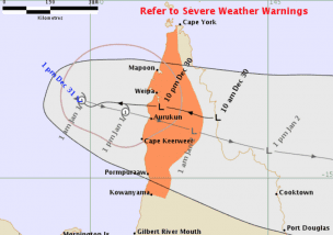
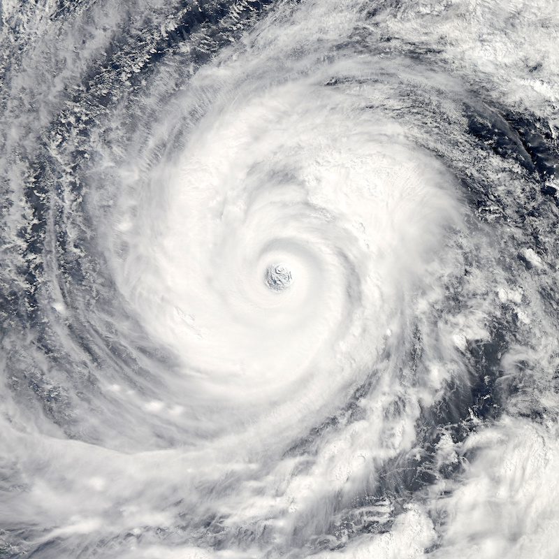
The BOM has issued a weather warning this afternoon for the area of Cape York to Kowanyama, extending to adjacent inland areas. The cyclone is expected to turn back towards the Cape York Peninsula overnight tonight. The low is expected to develop into a tropical cyclone early tomorrow morning.

The Bureau says gale force winds, with peak gusts in excess of 90km/h, are expected to develop from Tuesday morning in coastal and adjacent inland areas between Cape York and Pormpuraaw, and may extend south to Kowanyama. Isolated damaging wind gusts may occur otherwise with thunderstorms over Cape York Peninsula today, and a separate Severe Weather Warning is current for these conditions.
The Bureau highlighted that heavy rainfall, which may lead to flash flooding, is likely across far north Queensland over the next few days. A Flood Watch remains current for coastal catchments north of Cardwell, including catchments across the Cape York Peninsula. A separate Severe Weather Warning is also current for rainfall on the northeast tropical coast.
TIDES will be higher than predicted through Torres Strait and the northwest Cape over the next couple of days. Some Torres Strait islands may see water levels that exceed the Highest Astronomical Tide on the high tides on Monday and Tuesday.
The Department of Natural Resources Mines and Energy issued a bulletin to mines in November in preparation for storm season.
Further information is available on the BOM Website
Alerts are available at the Queensland Government Disasters and Alerts Page
More on AMSJ Storm Preparedness
Read more Mining Safety News


Add Comment