
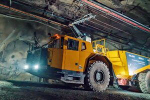
Australian miners can avert catastrophic tailings dam collapses by using intelligence generated from satellite imagery and advanced processing techniques to monitor mine sites, thanks to a ground-breaking intelligence tool launched by start-up Otus.
Based at the Element 8 Incubator & Accelerator in Sydney Olympic Park, Otus uses satellite imagery to analyse and monitor a range of metrics, such as surface movement, and identify potential issues as they develop.
There are hundreds of tailings dams across Australia, many of which are close to critical infrastructures and communities. In Western Australia alone, there are 800 tailings dams of which more than 130 were built in a similar way to those that recently caused catastrophic failures. Yet, surveillance and regulations are limited.
For example, in NSW, operators are only required to provide surveillance reports to the NSW Dams Safety Committee on the integrity of tailings dams every five years[1]. Less than one in three tailings dams provided surveillance reports in 2016/17[2] despite structural problems often developing in just a few weeks.
Otus has used its technology to help operators and consulting firms investigate tailings dam failures, where the subtle movement was detected months before breaches occurred, the movement that had not been detected by drones and other technologies used by operators.
The technology can also help organisations assess the impacts of surface movement on critical infrastructures (roads, railways, communities) even beyond operational boundaries.
Otus offers product suites that can also provide critical insight on environmental indicators, for example changes in vegetation and access to water, and a whole range of issues that can often lead to costly delays and business interruptions for operators, loss in stock value for investors, costly claims for insurers but more importantly hardships for local communities.
The tool has the potential to be a game-changer for governments, boards of directors, minority joint venture partners, insurance companies and other investors who rely on intelligence disclosed by the operators. Otus can provide an independent analysis of mining operations, without the need to send someone onsite – an expensive and labour-intensive activity or in some cases not even possible.
Marc Beaudry, Managing Director of Otus, said:
“It is critical operators leverage the best technology and consider all options to ensure disasters like the one in Brazil do not happen again. Satellite imaging and advanced processing techniques offer a solution for executives and boards to remotely keep track of their sites.
“We want to take this technology global, providing intelligence that can transform mining for operators and the communities in which they operate.
“We expect it to become an essential due diligence tool for directors who are liable when things go wrong on site. They will now be able to access independent analysis and quickly identify any problems.
“In a world-first, we are turning a tool that has been used to investigate issues into a forward-looking monitoring tool.”
Krish Patel, Director of Innovation, Element 8, said:
“Given the impact on communities, Otus is an example of our start-ups playing the agents of innovation, while facilitating a new wave of thinking to solve issues for the future of humanity.”
Read more Mining Safety News
Tailings dam risk management | Many global companies opportunities for improvement


Add Comment