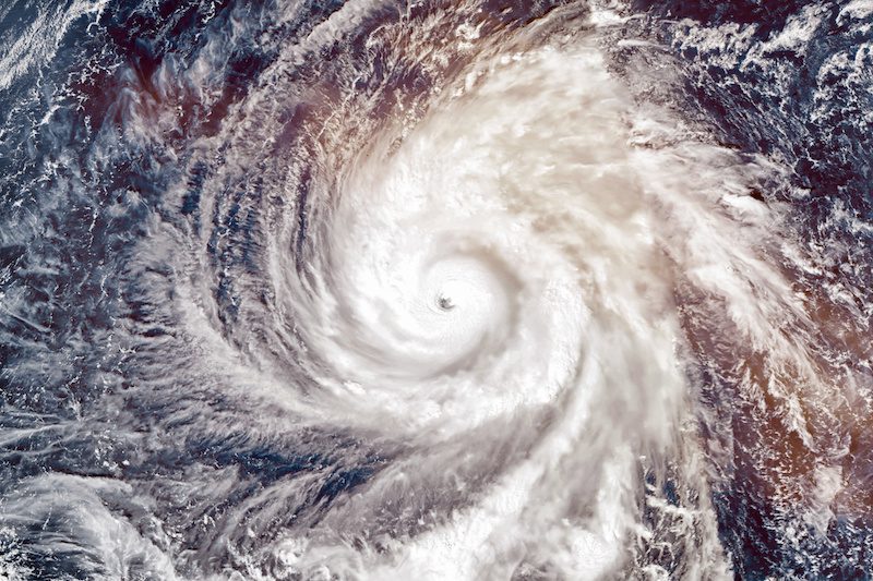
The BOM have reported that Tropical Cyclone Veronica has been downgraded to a Category 2, with sustained winds near the centre of 95 kilometres per hour with wind gusts to 130 kilometres per hour. A Red Alert has remained current for the Port Hedland and Mardie, including Whim Creek, Point Samson, Wickham, Roebourne, Karratha, Dampier. BHP and Rio Tinto sites have remained in red alert mode pending further notice
Tropical cyclone Veronica is currently within 30 kilometres of 20.5 degrees South 117.2 degrees East, estimated to be 50 kilometres east northeast of Karratha and 145 kilometres west of Port Hedland and tracking west at 8 km/h.
The BOM said that the cyclone has started to increase in speed as it moves west just off the central Pilbara coast. The system is continuing to weaken but remains a Category 2 system. Veronica is forecast to weaken further this afternoon and will continue to move towards the west just off the central Pilbara coast. The system is forecast to weaken below tropical cyclone intensity by Monday evening.
The bureau expects widespread, very heavy rainfall along the Pilbara coast and adjacent inland areas during Monday. Heavy rainfall is expected to result in significant river rises, areas of flooding and hazardous road conditions.
Destructive winds with gusts exceeding 125 kilometres per hour are occurring along the Pilbara coast in exposed coastal areas between Roebourne and Whim Creek for the next few hours. There is a slight risk of Destructive winds at Wickham and Point Samson in the next few hours but they are not expected in Karratha, Dampier and Roebourne.
Gales with gusts to 100 kilometres per hour are occurring between Roebourne and west of Port Hedland and are forecast to extend west to Karratha early this afternoon and possibly further west to Mardie and adjacent inland areas including Pannawonica later today. Gales may extend to Barrow Island tonight if the system remains at cyclone intensity longer than expected or if gales persist on the southern quadrants as it weakens to a tropical low early Tuesday morning.
Tides along the Pilbara coast east of Roebourne will rise above the normal high tide mark early this afternoon with some flooding of low-lying coastal areas.
Read more Mining Safety News


Add Comment